Deer Recovery
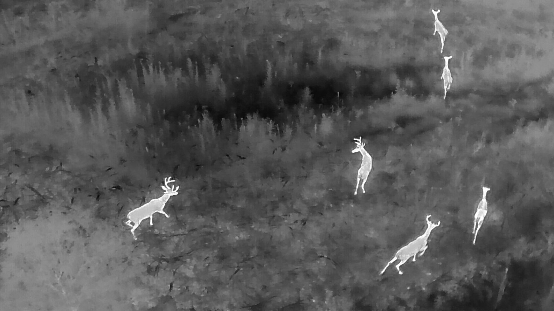
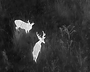
Thermal aerial searches help locate wounded or downed deer while covering difficult terrain efficiently.
THERMAL VISION. AERIAL PRECISION.
Professional aerial and thermal drone services for hunters, pet owners, farmers, landowners, and property managers in Pulaski, Tennessee and surrounding areas.
WHAT WE DO
From tracking a wounded deer to checking a roof or surveying a herd, our drone gives you a safer, faster view from above.
Thermal aerial searches help locate wounded or downed deer while covering difficult terrain efficiently.
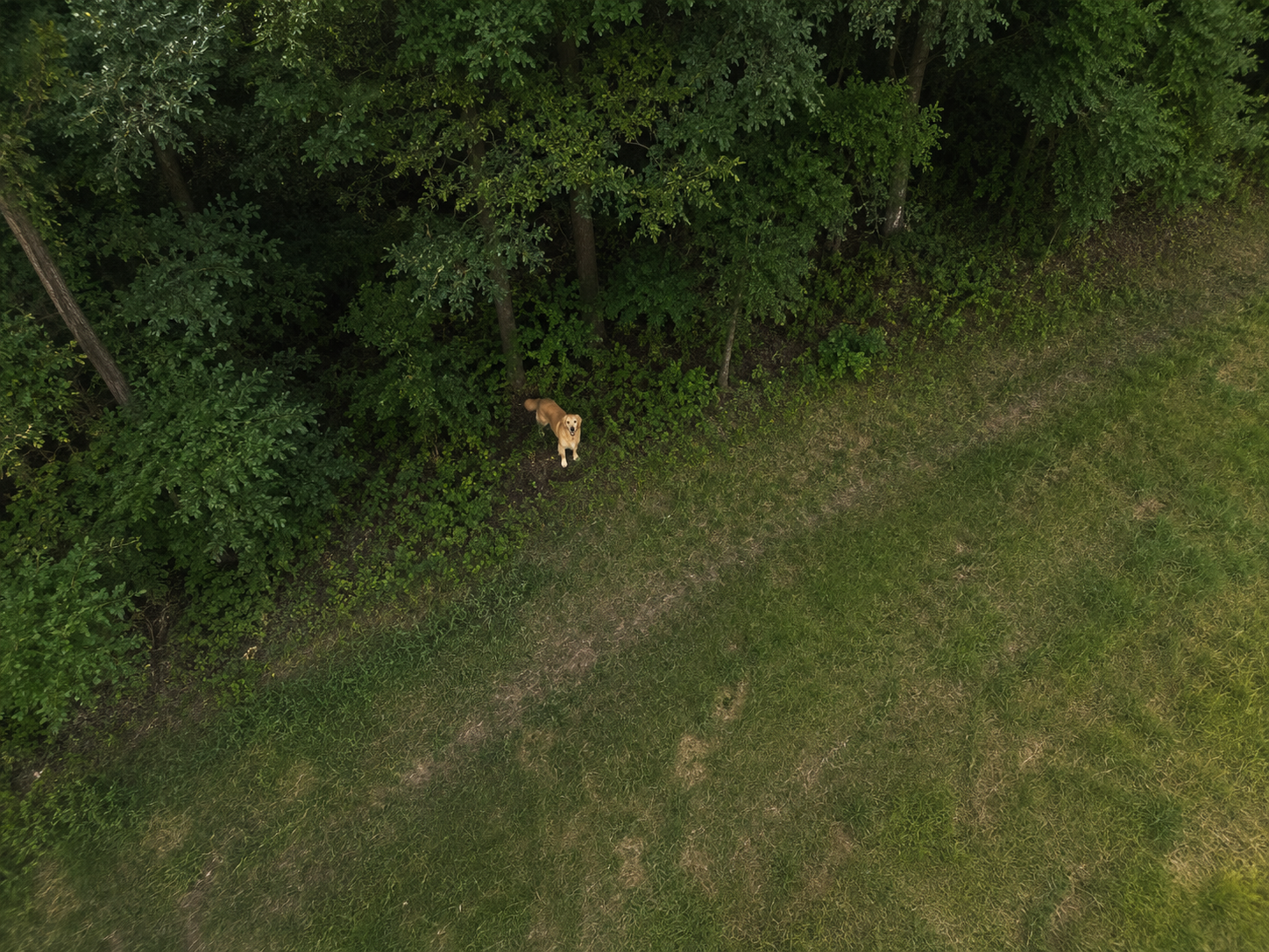
Search fields, woods, and large properties for missing dogs and other pets using aerial and thermal imaging.
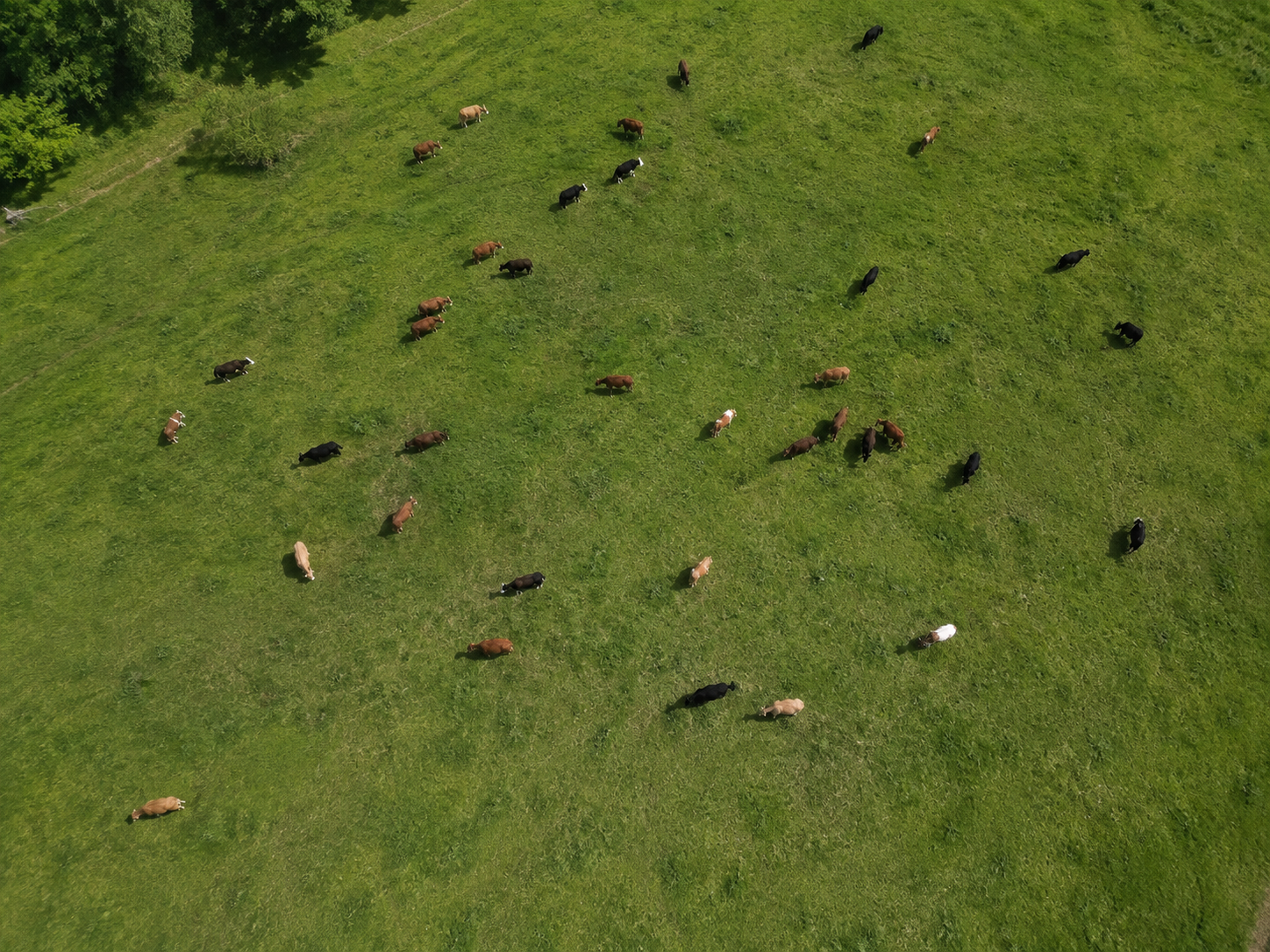
Locate missing cattle or livestock and get a fast aerial view of pastures, fence lines, and nearby terrain.
Aerial overviews of fields, timber, structures, and general property conditions.
Estimate animal activity and distribution across large areas with efficient aerial coverage.
Get a close aerial look at roofing, storm damage, hard-to-reach areas, and visible maintenance concerns.
High-quality aerial photos for farms, hunting properties, real estate, construction, and personal use.
NEED A SEARCH?
FROM ABOVE
LOCAL & READY
Founded by Cody Womble, Womble Aerial & Thermal serves Pulaski, Tennessee and the surrounding area with practical drone services for wildlife recovery, livestock searches, property inspection, and aerial photography.
Every job is different. Call or email with your location and what you need, and we’ll discuss the best way to help.

GET IN TOUCH